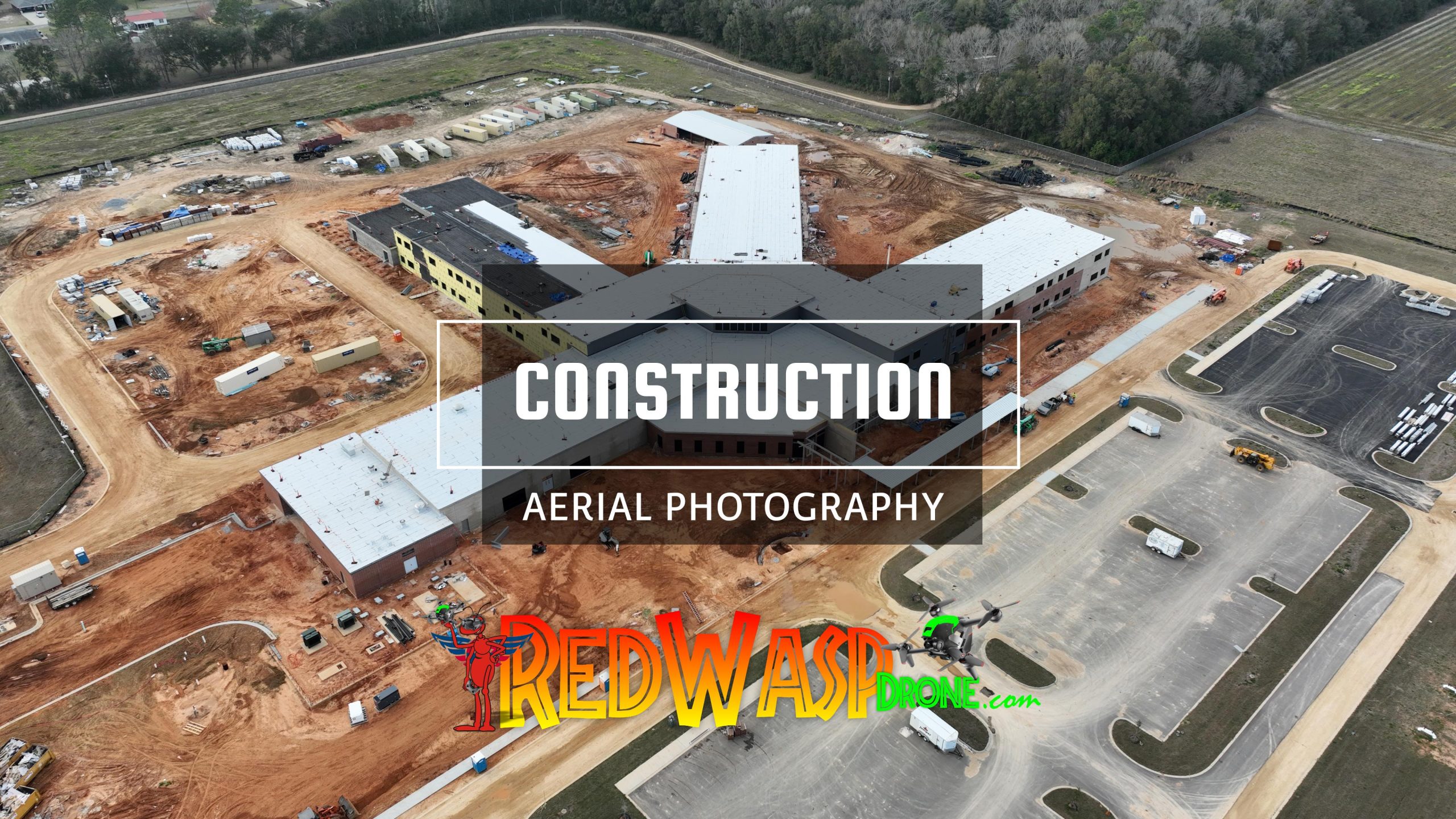
Construction Aerial Survey Services
Construction Aerial Survey Services in Pensacola Area by RedWasp Drone

According to a McKinsey study, the construction industry struggles with a great deal of inefficiency. Large construction projects typically take 20% longer than expected to complete and are up to 80% over budget.
Compared to other sectors, the industry has been slow in embracing new digital technologies, even though the long-term benefits are significant. It is time for disruption. And according to the study, commercial drones—or unmanned aerial vehicles (UAVs)—are key to this.
Some construction companies have already jumped on the professional drone bandwagon. In 2018, this sector saw a 239% increase in the adoption of drone technology. In its report on the impact of drones, PwC states that the use of drones throughout a construction project provides an unparalleled record of all activities; cuts planning and survey costs; increases efficiency and accuracy and eliminates disputes over the status of a project at a given point in time. No wonder a drone program is currently a terrific investment for construction companies.
How is drone data used in the construction industry?
Drones are used in the construction industry for surveying and inspection purposes. Drones are equipped with downward-facing sensors, such as RGB, multispectral, thermal or LIDAR, and they can capture a great deal of aerial data in a brief time.
Getting real-world insights with photogrammetry
During an aerial drone survey with an RGB camera, the ground, its features, and buildings are photographed multiple times from different angles, and each image is tagged with coordinates. First, these highly detailed geotagged images can be used for assets and inspections, for example, of building roofs or hard-to-reach areas. They can also be used to monitor areas across long distances, such as vegetation rows, roads, and railroads.
Taking the technology, a step further, photogrammetry software can combine the images to generate geo-referenced 2D maps, elevations, and 3D models. These maps can be used to extract information such as precise distances, surface, and volumetric measurements.
Who has the most to gain from drone technology?
Companies building and managing large infrastructure such as roads, railways, bridges, dams, water reservoirs, airports, industrial complexes, oil and gas operations, and power complexes have considerable potential to use drone data to optimize their operations.
The complexity and scale of such projects exposes them to many challenges this technology can help solve, including long and costly surveys, early identification of construction mistakes, penalties for missing deadlines, miscommunication between stakeholders and contractors, and volumetric assessment. It can also help stakeholders efficiently survey to avoid financial liabilities post-construction due to lack of maintenance and resultant damage to the environment.
Drones can also open new applications that were previously extremely hard or costly to access or closely track. Think of monitoring or inspecting hard-to-reach areas or of analyzing and optimizing rapidly changing environments such as construction sites.
Construction Survey, Drone Services, Construction Aerial Photography, Aerial Photography, Aerial Survey in Pensacola, Drone Service Fort Walton,
#ConstructionSurvey #DroneServices #ConstructionAerialPhotography #AerialPhotography #AerialSurveyinPensacola #DroneServiceFortWalton

